Professional Utility Locating & Mapping Services in North Carolina
Accurate underground utility locating, GPR scanning, concrete scanning, line marking, private utility locating, and GPS & GIS mapping to help contractors, property owners, and project teams plan safely and avoid costly utility damage.
ABOUT US
Reliable
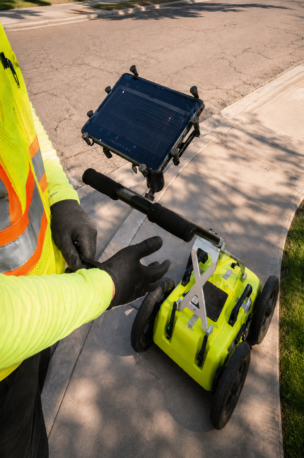
At Utility Locating & Mapping North Carolina, we provide reliable underground utility locating, GPR scanning, concrete scanning, line marking, private utility locating, and GPS & GIS utility mapping services. Our goal is to help property owners, contractors, engineers, and construction teams identify buried infrastructure before excavation, drilling, coring, or site development work begins.
We use modern locating methods and professional equipment to help detect underground utilities, electrical lines, water lines, communication cables, conduits, rebar, post-tension cables, and other subsurface features. Accurate utility information can help reduce the risk of damage, improve job-site safety, minimize costly delays, and support better planning for construction and maintenance projects.
Serving clients throughout North Carolina, we are committed to providing dependable utility locating and mapping services for residential, commercial, industrial, and construction sites. Whether you need Ground Penetrating Radar (GPR), concrete scanning, private utility detection, line marking, or GPS/GIS mapping, our focus is on clear results, professional service, and helping your project move forward with confidence.
Our Services
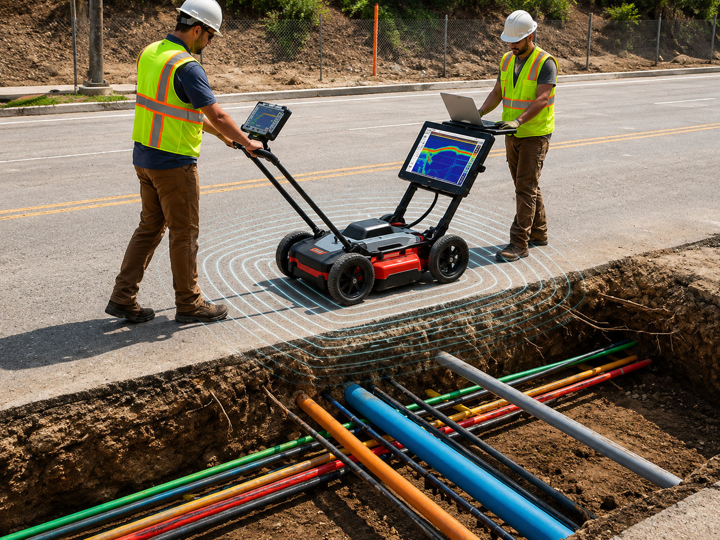
Ground Penetrating Radar helps detect buried utilities, pipes, conduits, voids, and subsurface features without digging, supporting safer planning, excavation, drilling, and construction work.
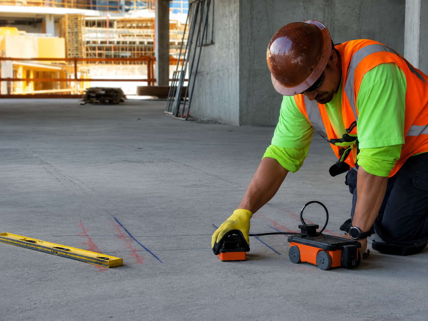
Concrete scanning locates rebar, conduits, post-tension cables, and embedded utilities inside slabs and walls before cutting, coring, or drilling, helping reduce damage and job-site risks.
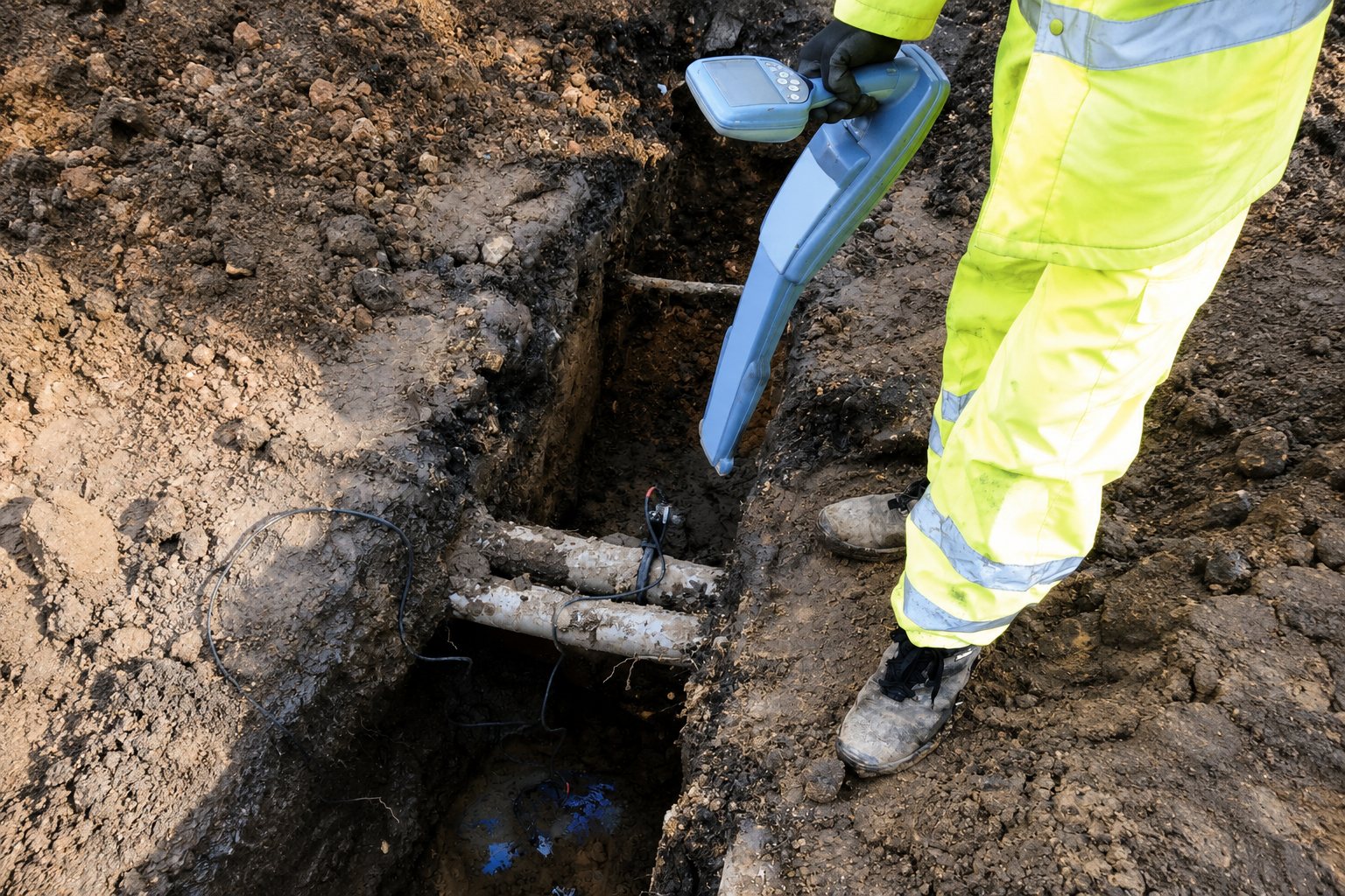
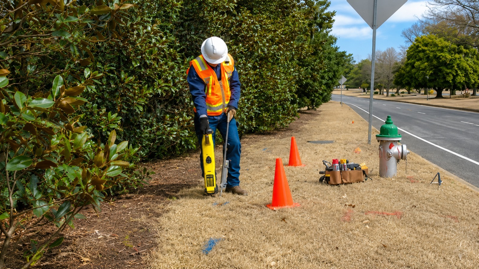
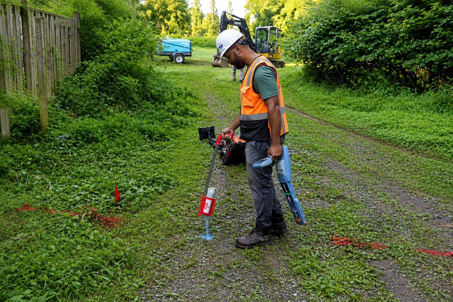
Underground utility locating identifies buried electric, water, gas, sewer, and communication lines before excavation, helping contractors avoid utility strikes, delays, and unnecessary repair costs.
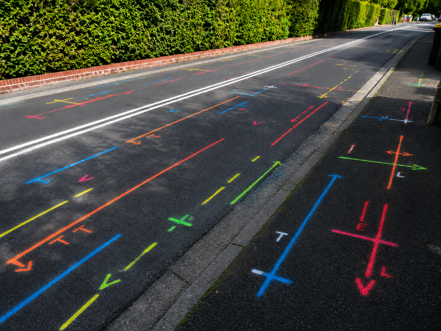
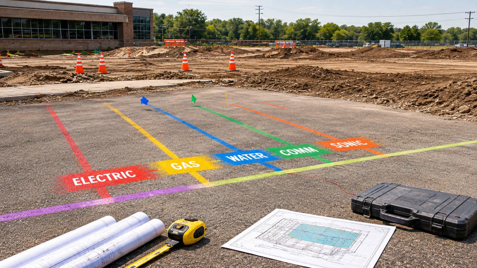
Professional line marking clearly identifies the location of underground utilities before digging or construction, helping crews work more safely, protect buried infrastructure, and reduce costly damage.
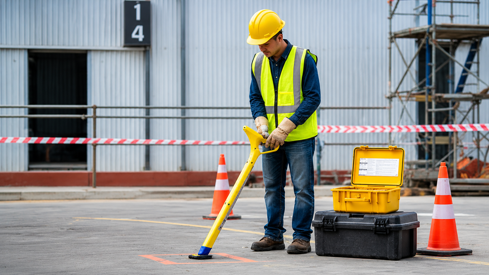
Private utility locating detects buried lines on private property that may not be covered by public locating services, helping owners and contractors plan excavation, construction, and maintenance safely.
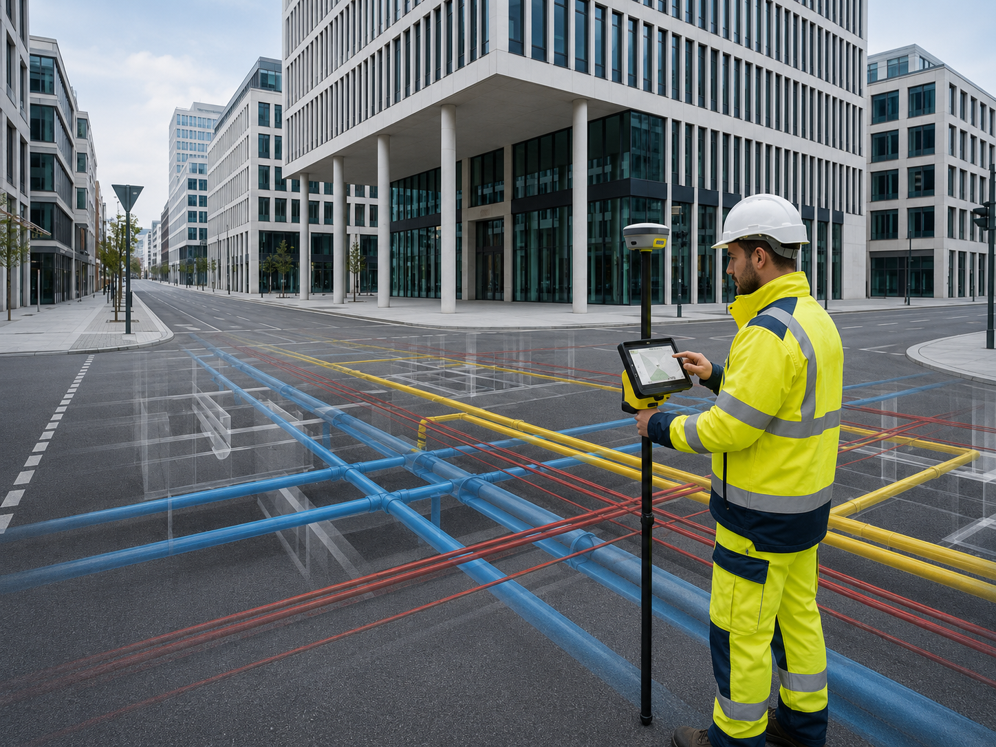
GPS and GIS utility mapping creates organized digital records of underground utilities and site assets, helping improve future planning, maintenance, construction accuracy, and infrastructure management.
The Process
Our Simple 3 Step Process

Contact Us
Start by completing the 'Get a Free Quote' form on our website to share your needs with us so we can take care of you.

Schedule Your Estimate
Next, we'll arrange a property visit at a time that works for you to provide an in-person estimate for your needs.

Get The Job Done
After you approve our estimate, we'll schedule a date to complete the job. Our team will work hard to exceed your expectations!
photo gallery
See Why Our Customers Love Us
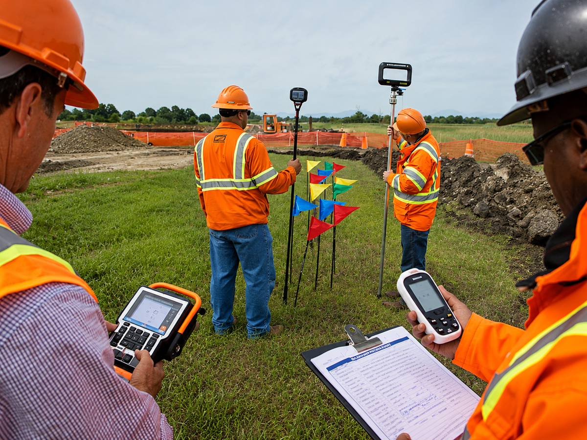
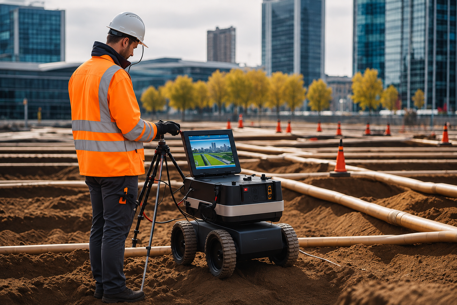
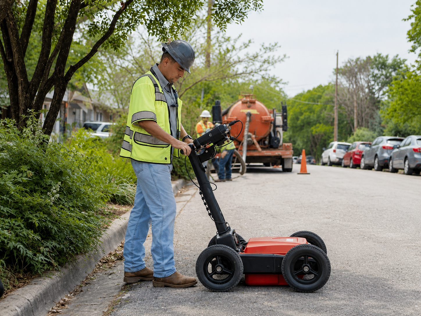
Our Service Area?
Charlotte
Raleigh
Greensboro
Durham
Winston-Salem
Fayetteville
Cary
Wilmington
High Point
Concord
Greenville
Asheville
Gastonia
Apex
Jacksonville
Huntersville
Chapel Hill
Kannapolis
Burlington
Wake Forest
Mooresville
Rocky Mount
Holly Springs
Wilson
Fuquay-Varina
Hickory
Indian Trail
Monroe
Garner
Salisbury
Leland
Cornelius
Goldsboro
New Bern
Sanford
Matthews
Clayton
Morrisville
Statesville
Mint Hill
Kernersville
Asheboro
Thomasville
Shelby
Knightdale
Waxhaw
Clemmons
Mebane
Carrboro
Harrisburg
Lexington
Graham
Boone
Kinston
Wendell
Elizabeth City
Mount Holly
Lumberton
Pinehurst
Lenoir
Our Reviews
What Our Customers Have to Say About Us!
Great experience from start to finish. The team located the underground utilities accurately and explained everything clearly before we began excavation. Professional, efficient, and easy to work with.

We needed GPR scanning before drilling into a concrete slab, and the service was quick and thorough. The technician identified the areas we needed to avoid and helped keep our project moving safely.
Very impressed with the utility mapping service. The crew arrived on time, marked the lines clearly, and provided useful information for our site planning. I would definitely use their services again.
FREQUENTLY ASKED QUESTIONS
What is utility locating and mapping?
Utility locating and mapping identifies underground lines such as electrical, water, gas, communication, and drainage systems before excavation, drilling, or construction work begins.
Why should underground utilities be located before digging?
Locating utilities before digging helps reduce the risk of damaging buried lines, improves job-site safety, prevents costly repairs, and helps projects move forward with fewer delays.
What types of utilities can be detected?
Depending on site conditions and equipment, technicians can locate many types of buried utilities, including electrical lines, communication cables, water lines, gas lines, sewer lines, and other underground infrastructure.
What is GPR scanning used for?
Ground Penetrating Radar (GPR) is used to scan concrete and subsurface areas for objects such as utilities, conduits, rebar, post-tension cables, and other embedded or buried features.
When should I schedule utility locating services?
Utility locating should be scheduled before excavation, trenching, drilling, coring, concrete cutting, landscaping, construction, or any project where underground or embedded utilities may be present.
Request A Free Quote
BUSINESS
SERVICES
SERVICE AREAS
OPERATING HOURS
Sun: Closed
Mon: 7:00am - 7:00pm
Tue: 7:00am - 7:00pm
Wed: 7:00am - 7:00pm
Thu: 7:00am - 7:00pm
Fri: 7:00am - 7:00pm
Sat: 7:00am - 7:00pm